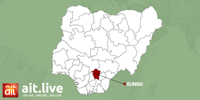
The surveying community in Enugu State, Southeast Nigeria recorded a major milestone on Thursday, with the launch of its Continuously Operating Reference System, known as the CORS Network.
The President of the Nigerian Institute of Surveyors, Surv. Mathew Ibitoye, described the project as a transformative tool that will enhance the profession and boost public confidence in land-related processes.
Before now, land surveys in Enugu relied on multiple local reference points, control stations within the city and varying origins in surrounding towns.
This often resulted in inconsistencies, ambiguities, and delays in charting survey plans.
It is in a bid to address these challenges, and also support the State government’s digital land reform efforts, that the Enugu branch of the Nigerian Institution of Surveyors this Thursday launched the Continuously Operating Reference System, known as the CORS Network.
This centralized, satellite-based system offers improved accuracy, consistency, and efficiency in survey operations, while greatly simplifying land documentation and administration.
Alongside the launch of CORS Network, the surveyors also commissioned their Multi-Purpose Plaza, envisioned as a hub for innovation, collaboration, and professional development for practitioners in the State.
ait.live notes that with this development, Enugu State has joined a growing number of States in Nigeria leveraging geospatial technology to strengthen land governance and promote sustainable development.
Editor: Ken Eseni


