

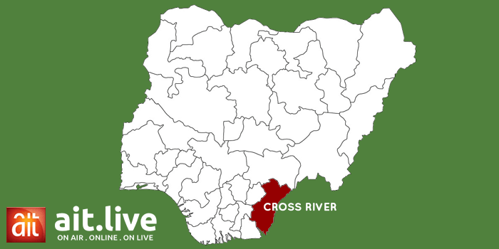
A new mapping exercise has shown that over 200,000 hectares of forest in Cross Rivers State have been degraded, compromised or lost.
This raises concerns over the future of the State’s forest resources and agricultural sustainability.
The updated Land Use and Land Cover Map is expected to strengthen forest monitoring, check illegal expansion into forest reserves and position Cross River to harness its cash crops potentials.
For years, forest exploitation, agricultural expansion and unsustainable farming practices have placed pressure on Cross River’s forest resources.
The Forestry Commission States that the State now needs reliable data to identify what remains, monitor changes and strengthen forest protection.
This necessitated a stakeholders’ validation exercise held in Calabar, where updated forest maps were presented for scrutiny and corrections.
Chairman of the Cross River State Forestry Commission, George O’ben-Etchi, told the gathering that the maps will provide a reliable database for forest management, while supporting stronger enforcement against illegal activities.
Beyond forest protection, the exercise is linked to the State’s seven-year agricultural development roadmap for cocoa, coffee and oil palm, initiated in 2024.
Commissioner for Agriculture, Johnson Ebokpo, said the State government is building a traceability system that will connect farmers to international markets, and improve the value of their produc
Providing the technical foundation is the Cross River Geographic Information Agency, which uses Geographic Information Systems to map farmlands, establish forest boundaries and identify areas affected by deforestation.
Experts revealed that the mapping involved geospatial analysis, ground-truthing and the identification of more than 19,000 farms, with the updated data expected to support compliance with the European Union Deforestation Regulation for agricultural exports.
(Follow AIT News on WhatsApp, AfricaIndependentTV on YouTube, ait_online on Facebook and X (Formerly Twitter), and officialait on TikTok, Instagram and Threads).
(Editor: Ken Eseni)